
|
|
|
This site is owned, designed, and operated by Kenneth A. Larson who has over a quarter century of experience in design and construction of scenery for the Entertainment Industry and Theme Parks using Computer Aided and Traditional approaches to Design. Ken also has experience in other areas of Design.
|
|
Select photographs of my many visits to The Missions of the United States South and Southwest built by Spain and Mexico between 1565 and 1823. All photographs taken by Kenneth A. Larson. All rights reserved. © 2008 - 2026. |
|
By Founding Date
| ||
|
South to North
| ||
 |
 |
 | |
 |
 |
 Outer Areas of Site
|
 |
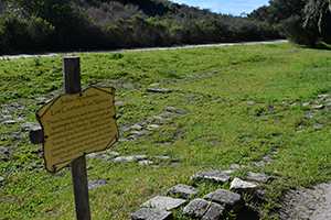
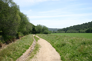
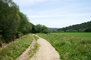
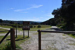
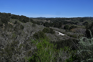
| Throughout the park, there are 25 miles of trails. |
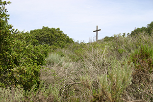
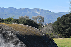
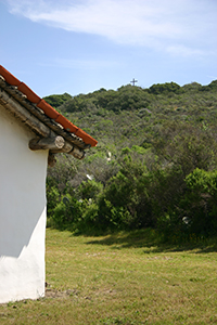 A cross on the hill east of the Visitor Center. |
 |
|
|
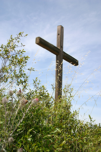
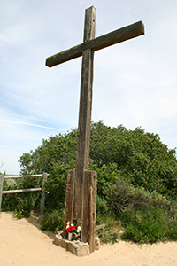
| A cross on the hill east of the Visitor Center. | |
|
|
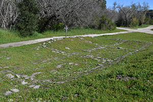
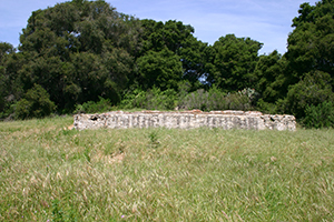
| Foundaton stones for Indian Apartments. | |
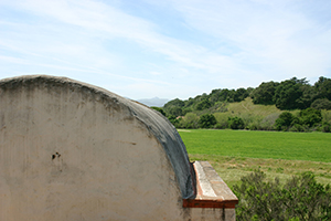
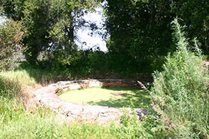
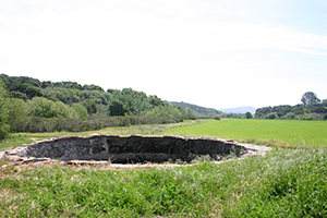
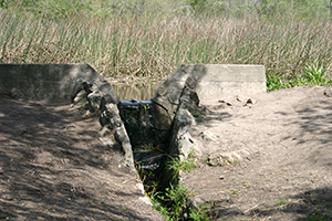
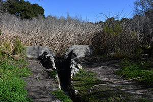
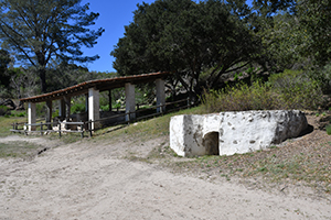
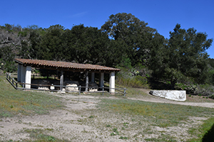
 The Spring House. |
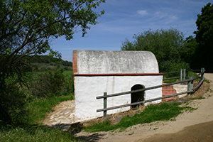 The Spring House. |
|
|
| The Spring House sites besaides the fields. | |
|
|
| The Spring House sites besaides the fields. | |
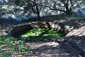
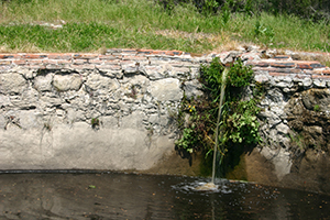
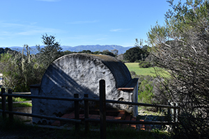 Sprin House. |
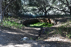
 Sprin House with Mision buildings beyond. |
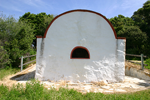
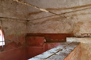 Spring House interior. |
 This aqueduct flows down to the fields. |
 |
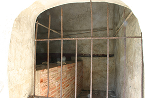
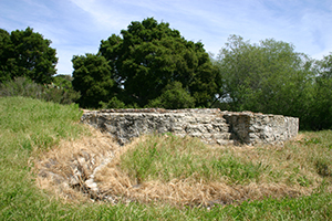
 Small cistern. |
 |
 |
| Small cistern. | |
 |
|
| This large Cistern lies several hundred feet north of the Mission. . | |
|
|
| More views of the Cistern. | |
|
|
| More views of the Cistern. | |
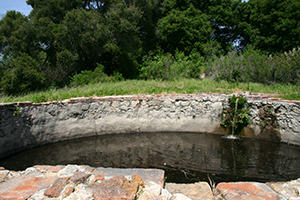
 Cistern. |
|
|
| Cistern. | |
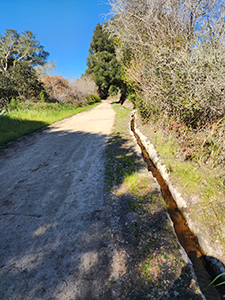 Aqueduct beside the trail as it continues north. |
|
|
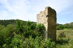
| A bit of stone wall far from the main Mission. | |
|
|
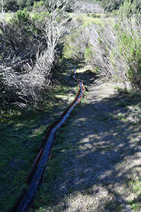
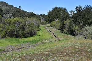
| Zanja, an irrigation trench. | |
|
|
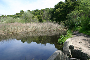 Pond. |
 |
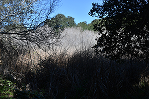 |
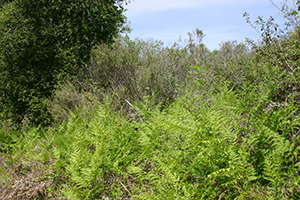 Ferns. |
|
|
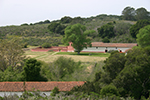
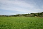
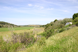
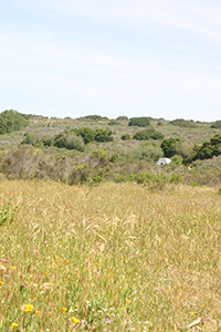
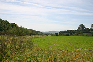
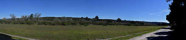
| A large open area north of the Mission. In the right image, the white object is the Spring House. | |
|
|
| Move views of the large open space north of the Mission. | |
|
|
| Move views of the large open space north of the Mission. | |
|
|
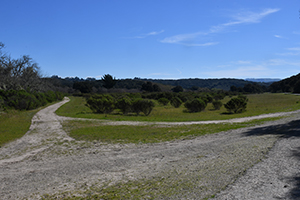
| This road circles the large open eara. | |
| |
| This road circles the large open eara. | |
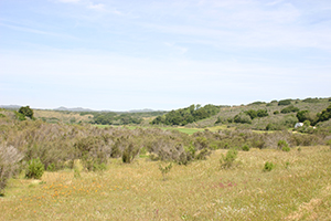
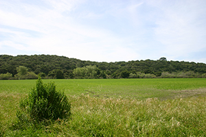
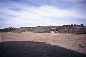
 Large open area. |
 Small pond. |
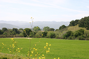
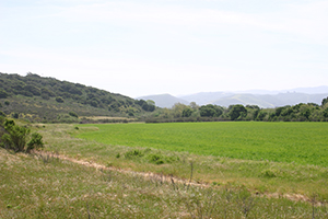
 Across a large field. The small white building is the Spring House. 11-2-02. |
 Looking axross the open area to the Spring House. 4-2-05. |
| |
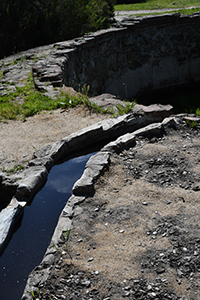
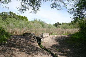
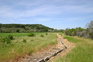
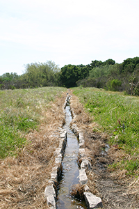
| Zanja, an irrigation trench. These transport water from the cistern to the fields. | |
|
|
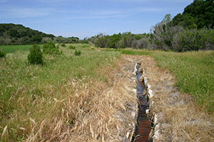
| Zanja, an irrigation trench. | |
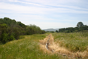
 Zanja, an irrigation trench. |
|
|
| This road circles the large open area north of the Mission. | |
|
|
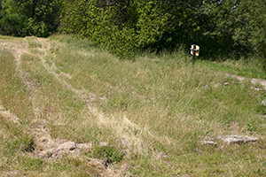
| The north cross-over road | |
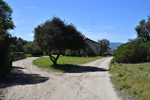
 North Entrance, looking south. |
 North Entrance, looking north. |
 The north cross-over road at left and the west road at right. |
 |
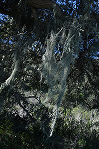 |
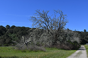
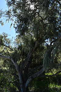
| There were many trees covered with this moss-like growth. | |
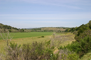
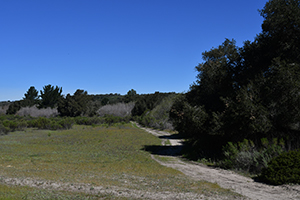
 The large open area seen from the west trail. |
 A cross trail about midway. |
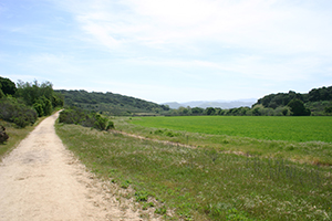
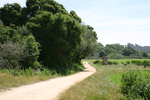
 The west road seen from the road leading to park headquarters. Beyond park headquarters is another large hiking area. |
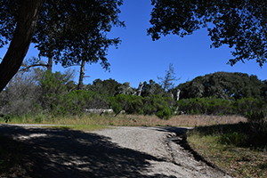
 As you reach the south end of the west road, the Mission extends beyond. |
 |
|
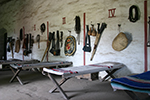
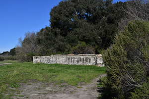
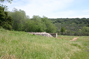
| Tallow Vats. | |
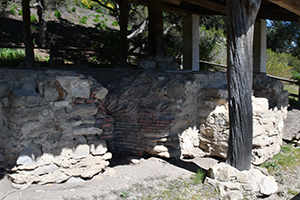 Tallow Vats. |
|
|
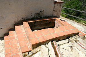
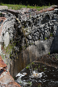
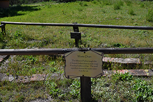
| Waste drain near the Tallow Vats. | |
|
|
|
| |
|
|
|
Outer Areas of Site
|
|
|
By Founding Date
| ||
|
South to North
| ||

|

|

|
| Note:This is not the official site for any of the places shown in US Mission Trail. US Mission Trail is not responsible for accuracy of the information. Hours of operations, prices, and exhibits are subject to change without notice. |
|
Links |

|
This site maintained by Kenneth A. Larson. Copyright © 2004 - 2023, Kenneth A. Larson. All Rights Reserved. Website content including photographic and graphic images may not be redistributed for use on another website. |

|

|

|